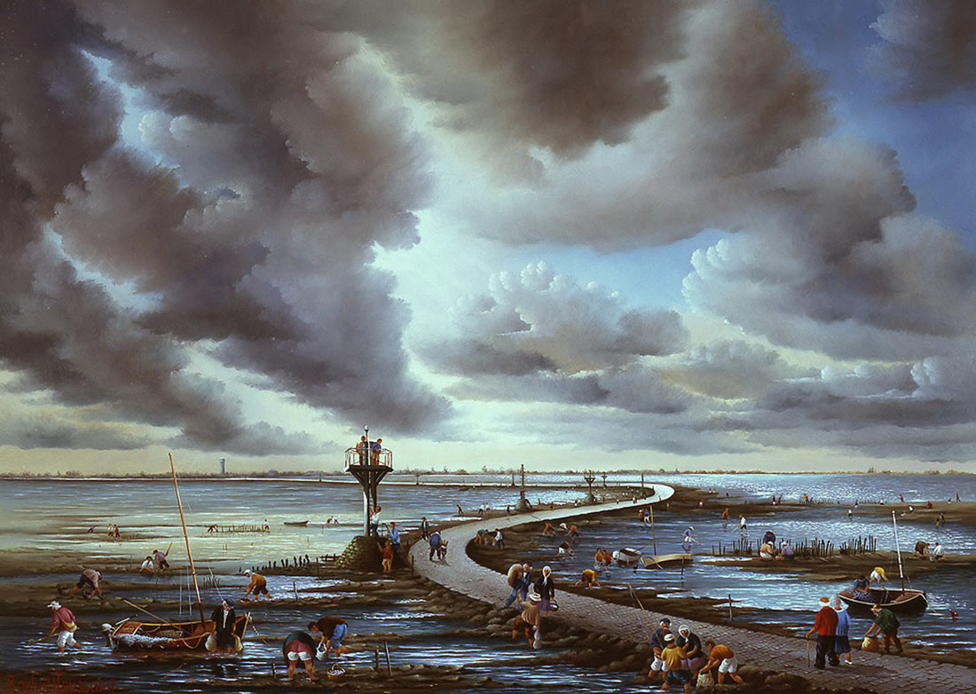
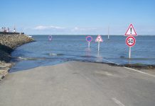
Passage du Gois is a natural road located on the Atlantic coast of France in the department of Vendée. A 4.3 km long section of the road, which leads from Beauvoir-sur-Mer to the island of Noirmoutier, is flooded twice a day during high tide. If you have confused the time of the tide, the only emergency way out is a boat. After high tide, the road becomes wet and slippery due to the algae that remain on it.
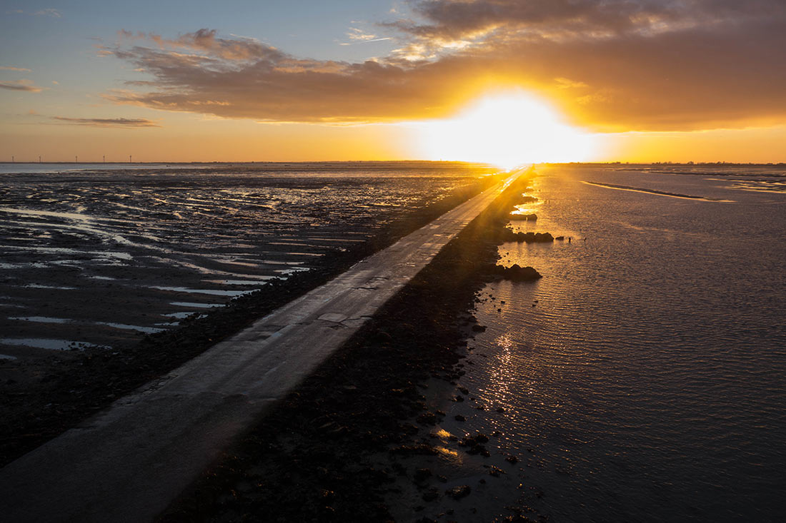
Photo: Tudre/flickr (https://creativecommons.org/licenses/by/2.0/)
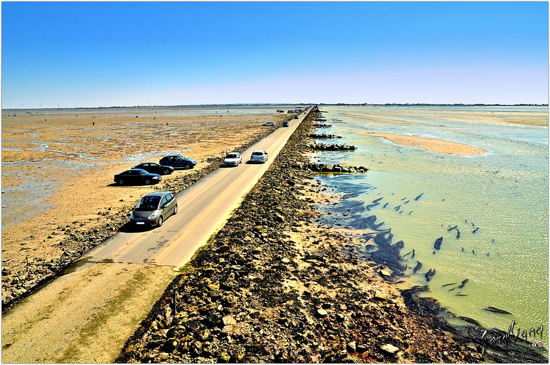
Photo: Sangitiana Fararano/flickr (https://creativecommons.org/licenses/by-sa/2.0/)

Photo: µµ/flickr (https://creativecommons.org/licenses/by-sa/2.0/)
Passage du Gois connects the island to the mainland and actually is a national monument of France. A 4150 meter long dam is only available at low tide. It is only an hour and a half before the lowest water level and an hour and a half after it.
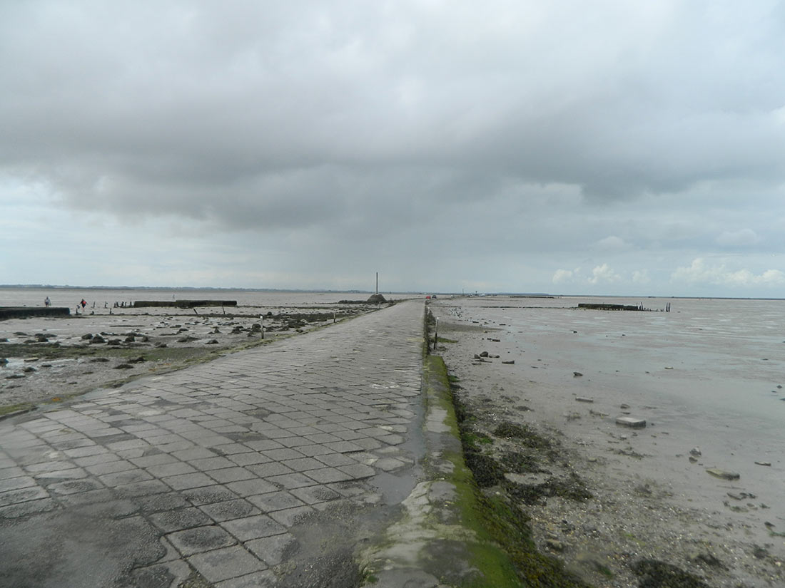
Photo: Ruben Holthuijsen/flickr (https://creativecommons.org/licenses/by/2.0/)
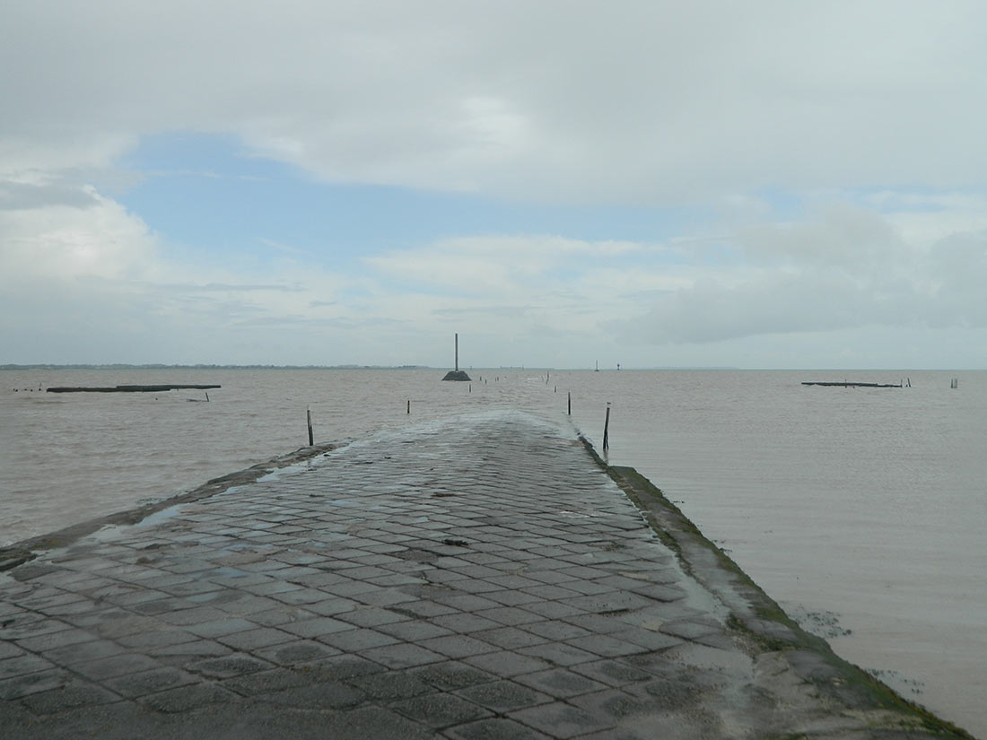
Photo: Ruben Holthuijsen/flickr (https://creativecommons.org/licenses/by/2.0/)

Photo: pics by brian/flickr (https://creativecommons.org/licenses/by/2.0/)
In order to drive along this road, you need to know the time of the tides. In any case, follow the tips on the panels installed on both ends of the road, and you will know exactly if it is passable or not. Although it is prohibited by law, in extreme cases, you can stay on the coastline. It is strictly forbidden to park a car on the sidewalk. To avoid skidding, you need to drive slowly: thus you will not have to brake urgently.
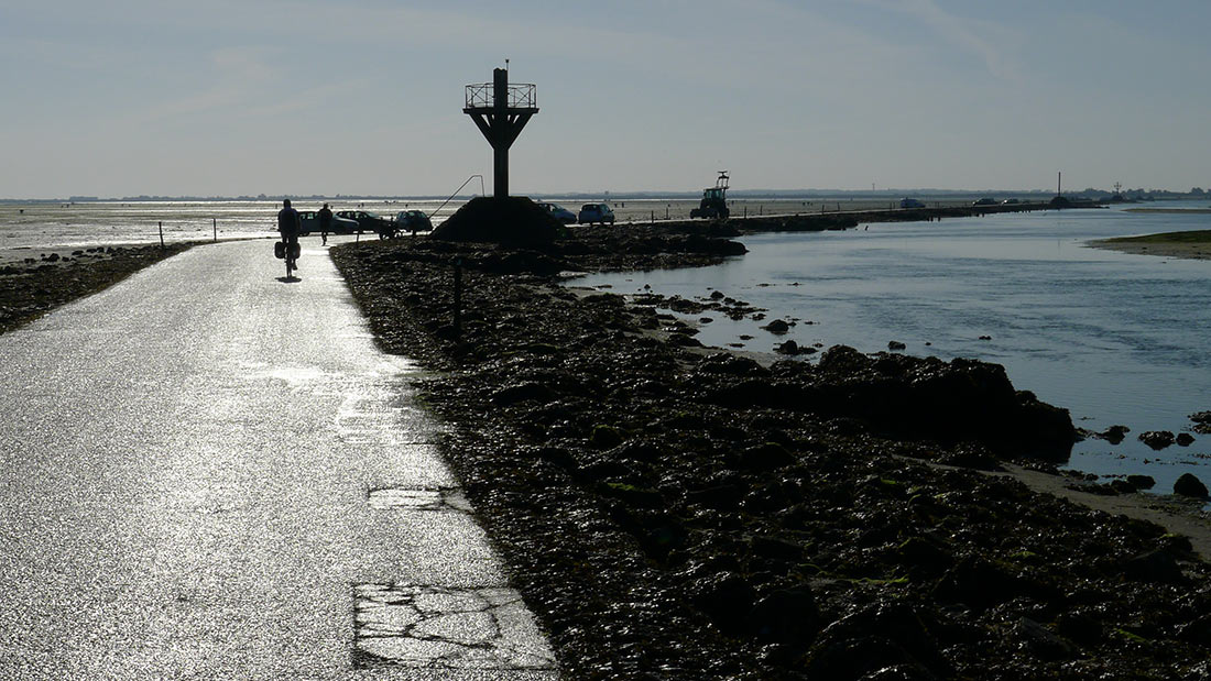
Photo: Hugues/flickr (https://creativecommons.org/licenses/by-sa/2.0/)
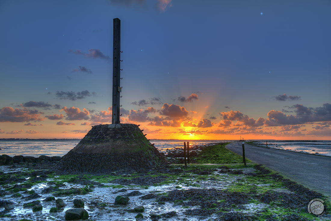
Photo: The-JMG/flickr (https://creativecommons.org/publicdomain/mark/1.0/)
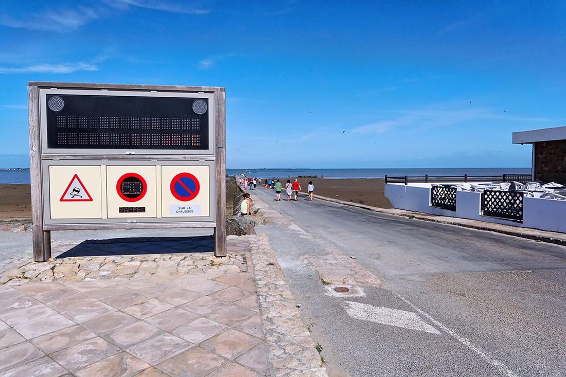
Photo: ludovic/flickr (https://creativecommons.org/licenses/by-sa/2.0/)
This unevenly paved dam was first used in the 16th century, and gradually became covered with silt. Today, thousands of tourists come here every year to watch how the road goes under water twice a day, and then reappears.
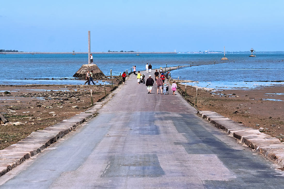
Photo: ludovic/flickr (https://creativecommons.org/licenses/by-sa/2.0/)
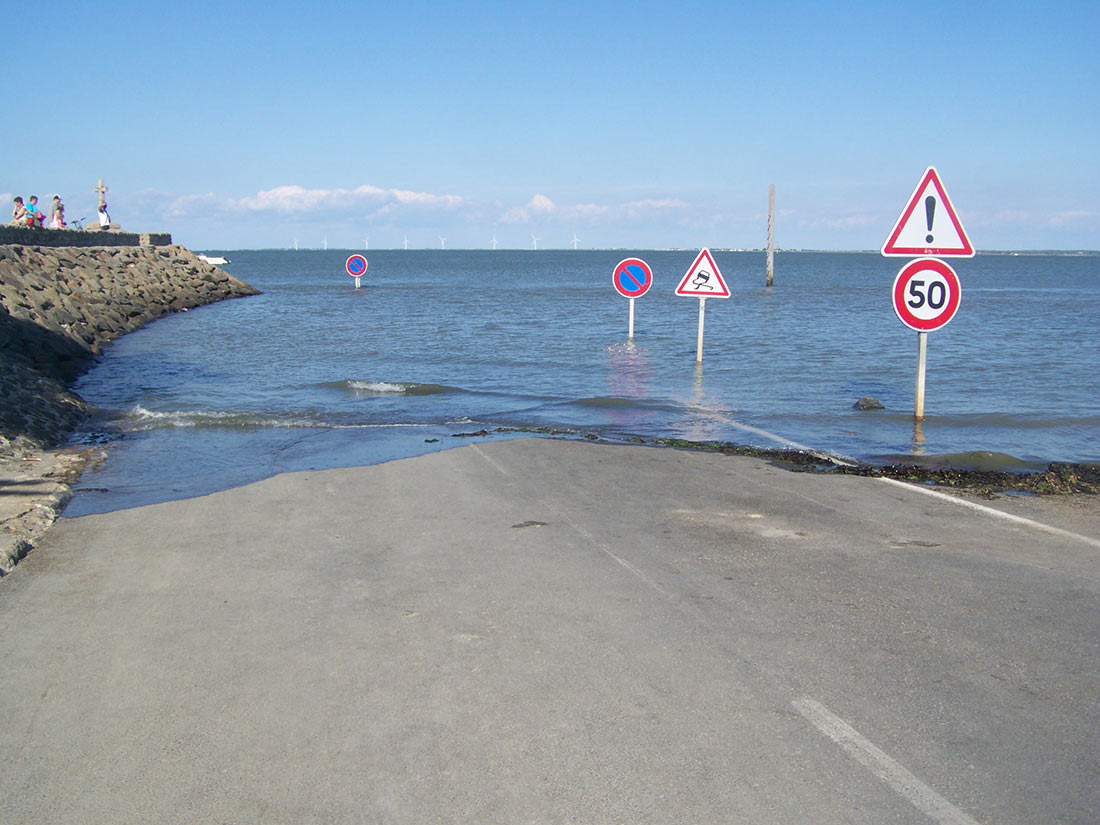
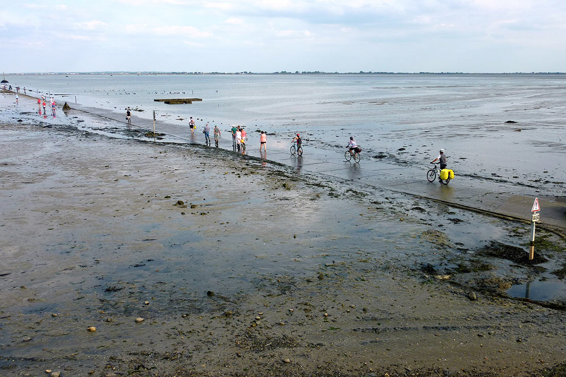
Trucks and buses can cross the road in only one direction, from the mainland to the island. At high tide, from 1.3 to 4 meters of water cover the road. Besides, due to a lot of algae it becomes very slippery. This area is very often covered with thick fogs, so it is better to wait for the low water on the shore. When this cobbled passage is littered with clumps of algae, it it may be too dangerous for those on two wheels.
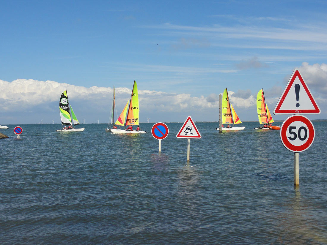
Photo: jacotmorin (pixabay.com) / needpix (CC0)
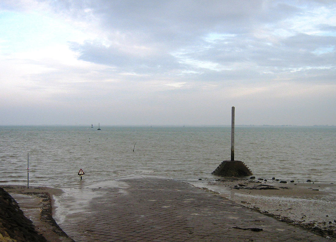
This road was even used several times for the Tour de France. It is so unique that you will never encounter the same one anywhere else in the world!
